Highpoint #5
13,143 feet ASL
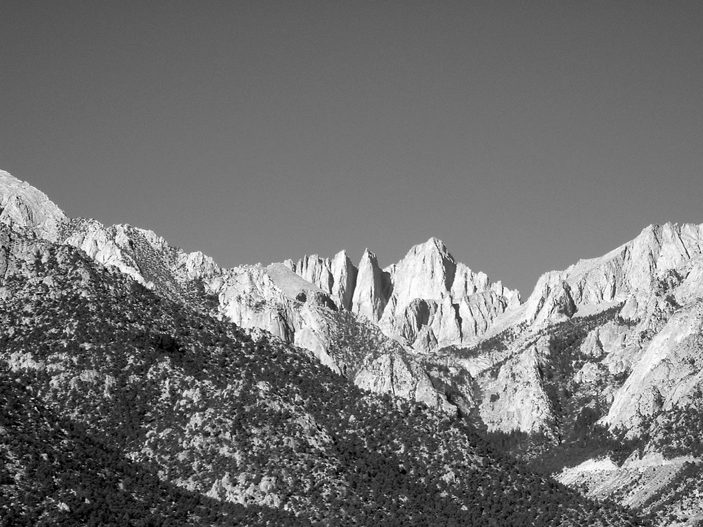
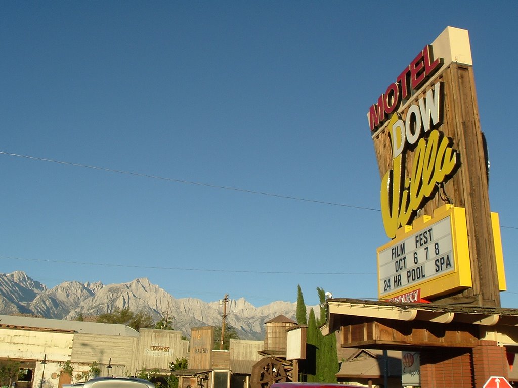
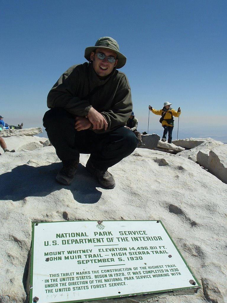
The night before my hike of Boundary Peak didn't start out as I had planned. My original plan was to come down off Mt. Whitney, drive over to Boundary Peak, spend the night camping, then wake up in the morning and hike. But altitude sickness coming down off Mt. Whitney put me in no mood to drive or camp for the night. Instead, I decided to spend the night at a motel with the four others who had summited Mt. Whitney with me that day. The was the right move, because the next morning I felt quite refreshed. I grabbed breakfast with my fellow summiters, which took longer than expected (2 hours). I was beginning to wonder whether I could even make it to Boundary Peak in time to complete the hike.
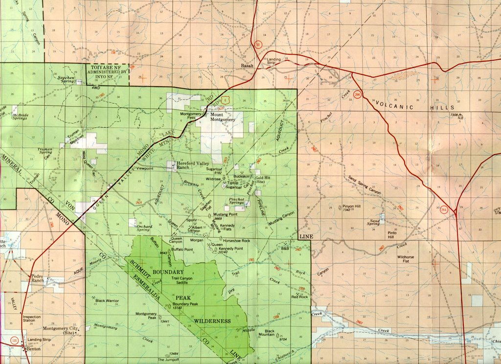
 At 10:15, I left the motel and headed out for Boundary Peak, Nevada stopping to pick up an alarm clock and plenty of energy goo and electrolyte powder. At 11:45am, I arrived at Janie’s Ranch, the entrance to the gravel road, which takes you to the Queen Canyon Trail route. The road up to the 4 wheel drive road wasn't that bad, just very dusty. (However, if wet, it might be a different story.) By 12:10pm, I had my daypack on and started up the 4 wheel drive road to the official trail of Boundary Peak. However, when I arrived to the stated trailhead, all of the hike information had been stripped, leaving only an empty board and some posts.
 My thought was that I would only complete part of the trip before having to turn around. I was completely ready to do so if the weather got to cold, or I felt tired, or sick, or if time got too late. As I went though, I realized I was making pretty good time, I felt physically great, and the weather could not have been better. The first three miles of the trip were fairly easy, with a long stretch of practically level ground. By 2:15, I had made it to Trail Canyon Saddle and the start of the real climb, which consists of scree, rocks, and more scree. I started up. I kept going and going, little bits at a time. It was hard, but definitely not impossible. I found that small steps on the scree worked well. Another technique that worked was to use the larger rocks as steps.
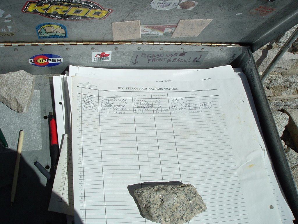
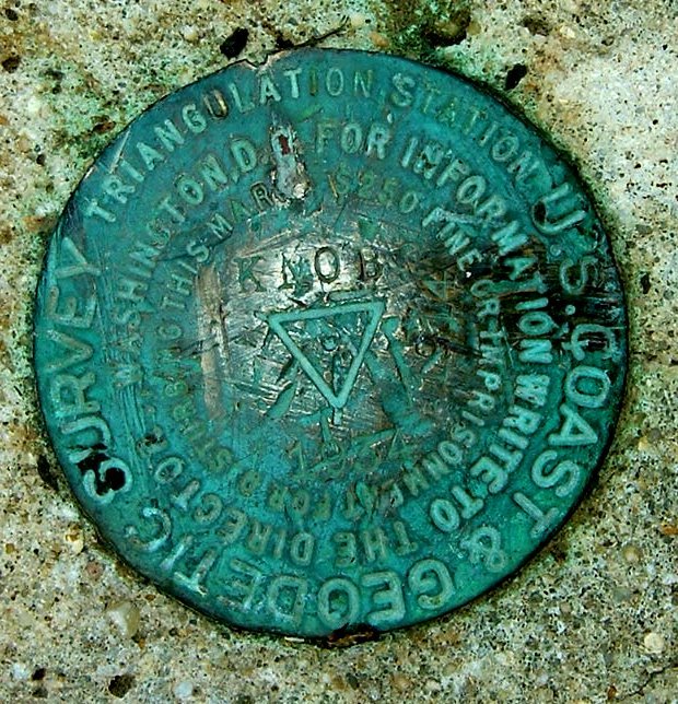
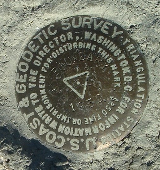 Eventually, I knew there was no turning back, I could make it to the top of Boundary. The only other difficult part of the trail is trying to stay on it, especially near the top. The trail often splits into two. There are many cairns to guide you and even some painted rocks indicating the way, but even so I lost the trail several times. Eventually, you can get back on the trail by moving towards the ridgeline, but it can be tricky in parts. At 4:15pm I made it to the apex and it was beautiful. I would even say that I enjoyed this peak more than Whitney because 1) I felt better and 2) there was no one else on top. Judging by the summit register and the fact I had seen no one on the trail, I was the only one to summit today. I found a NGS survey marker at the top of this peak. The only disappointing moment was that I could not find the geocache at the top of Boundary. However, it may not exist anymore. I stayed for about 15 minutes and started down.
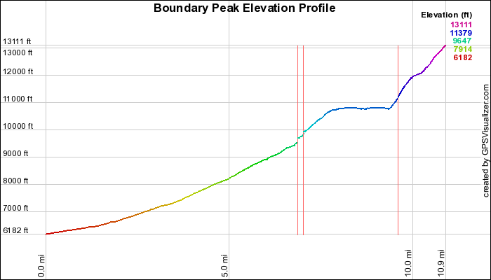
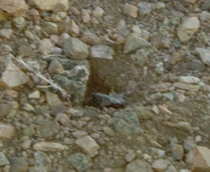 The descent is what I would call scree skiing. I was so thankful that I had gaiters, otherwise the descent would have been miserable. I made it down to Trail Canyon Saddle and picked up the pace. However, I began to get worried. I had remembered reading that this was rattlesnake country and I had seen numerous holes in this section coming up. However, I couldn't be sure they were snake holes. I thought they may have even been small rodent holes. I soon learned this was not the case. Soon after passing the saddle, I thought I saw a scaly head in one of the holes, but I couldn’t be absolutely sure. I pressed on with a little more caution. Nearing the last mile of the hike, I became certain that these were definitely snake holes. As I passed a hole, there staring at me was the distinct rattlesnake head. I quickly snapped a picture and finished the rest of the hike with full caution and worry. What if I got bit? Could I make it to the car, would I be able to drive? I did not know. Thankfully, I did make it back to the car with 0 venomous-filled puncture wounds. I arrived just before 7:10pm, as the sun was setting. A 10-mile hike with over 4000 feet of elevation gain in under 7 hours. Not bad, especially for someone who is used to breathing air at 100 ft ASL.
 Waiting at the car were two hikers that were going to hike Boundary the next day. I had a good conversation with them. They liked to bag 14K peaks. It got cold quickly, but I was soon in the car with the heat cranked. On the way down, I nearly hit three jack rabbits. You have to watch out for those critters.
I didn’t know exactly how I would make it back to the Reno airport. I could tell I was pretty worn out. I did find a small diner and ate dinner around 8:00pm. I stayed until 9:00pm trying to sleep at the table. As I headed onto Route 120, I realized this would be a good place to catch some cat naps. The road was basically deserted. I passed no more than 5 cars on over 40 miles of road. There were also several fun dips in the road you could hit going 60mph. I made it to Reno Airport by 3:00am and was safely on the flight by 6:05am. Trip successful.
GPS Data
- You can download the Google Earth Track file (.kml) of my ascent hike here.
- You can download the GPS Trackpoint file (.gpx) of the gravel road drive and the ascent/descent here.
- You can download a waypoint file (.gpx) of the Queen Canyon Mine Route here.
My Route

Boundary Peak via Queen Canyon Mine Trailhead at EveryTrail
Elevation Profile
Topo Map