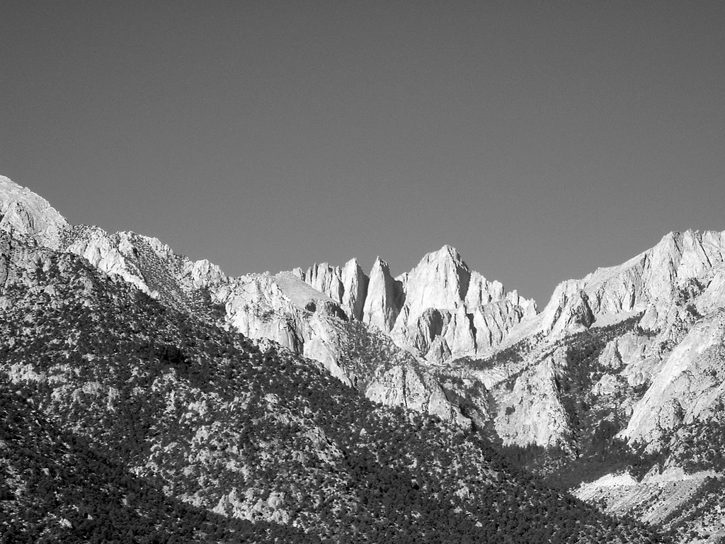
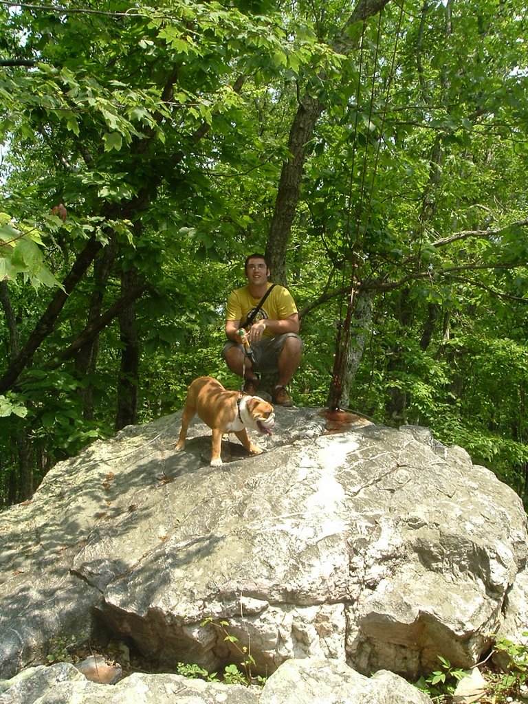
Highpoint #7
5,729 feet ASL
It was time to knock off the highpoint for what I consider to be my home state. My wife and I were in Roanoke visiting her family. Mt. Rogers was only three hours away, so I found a day to go and left at 6:30am. Unfortunately, I used Google directions to get there. (While I usually am aptly pleased with Google products, their map directions still could use some work.) Their directions took me past the main entrance of Grayson State Park and up a gravel road that eventually led to a four wheel drive road with no trespassing signs. I decided to turn around and go back to the entrance of Grayson State Park, which I knew would lead me to the trailhead.
 I was pretty upset with myself that I didn't originally pull into the State Park, thereby losing the extra time, but I regress. Once inside the State Park, I paid the $2 parking fee and pushed on to the parking lot. I had one last hill to climb before the parking lot when I discovered that the road, which had turned from black to white, was more slippery than I had first thought. As I neared the top, my momentum seized coming to rest on a slick icy incline. Thankfully, a ranger came up behind me and guided me back down safely. But this set back would mean an even longer hike, about an extra 1/2 mile each way. I thought I would really be pushing the time I needed to get back now. Nevertheless, I decided to try and set off at a pretty good clip.
 I started up the 1/2 mile of road and into the hike. Almost immediately after leaving the road, I came across some wild ponies that roam the Grayson meadows. They were not shy at all, allowing me to come up and touch them. My time bonding with the horses was short-lived, however, as time was of the essence. I pushed on and was truly blessed by the scenery of the hike. The open meadows and bald rock tops were very picturesque.
The elevation gain of the hike was moderate. The biggest challenge I faced was wet trail conditions. Melting snow had made trail soggy in many places. By the end of the hike, my feet and pants were wet and muddy. It was, however, an absolutely gorgeous day. The air was crisp, the temperature was perfect.
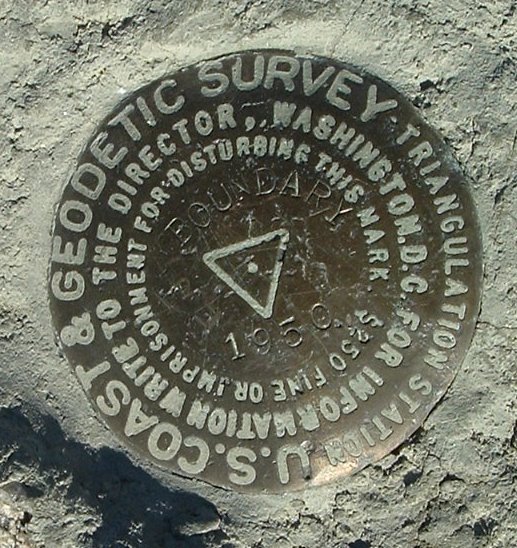
 I laughed at this toilet I came across near the top. This toilet was closed, another one could be found a little ways a way. I just didn't realize the Forest Service could be so blunt. After my little chuckle, I pushed to cover the last little bit of hike. The final push brought me into the land of Narnia. I entered a spruce forest, which was blanketed with 2 inches of snow. I passed rocks laden with icicles and ice steps. It was a perfect prelude to the summit. The actual summit is nothing special, it is covered with trees and there is no vista. But besides this one minor detail, the hike as a whole is one of the best I have been on. I would highly recommend my state's highpoint and consider one of the prettiest I've seen yet.
 I took a slightly different way on the way back. Unfortunately, I missed my turn. By the time I realized it, the most direct route back to my trail was through a densely packed azalea grove. There were some horse/deer tracks, so I decided to take the direct route. Thankfully, after 30 minutes of ducking and moving through the grove, I emerged onto the main train and was back on track.
 Near the end of my hike, I thought about mounting one of the wild ponies. I was definitely weary from the quick pace I was keeping. But wisdom got the best of me and I finished on my own two legs. I jumped in the car and was back on my way home, another grand adventure completed.
GPS Data
- You can download a set of waypoints of a Mt. Rogers hike here. (Note: This route is different that the one I took.)
- You can download the Google Earth Track file (.kmz) of my Mt. Rogers hike here.
- You can download the GPS Trackpoint file (.gpx) of the hike here.
Video of Summit
My Route

Mt. Rogers Hike at EveryTrail
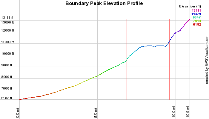
Elevation Profile

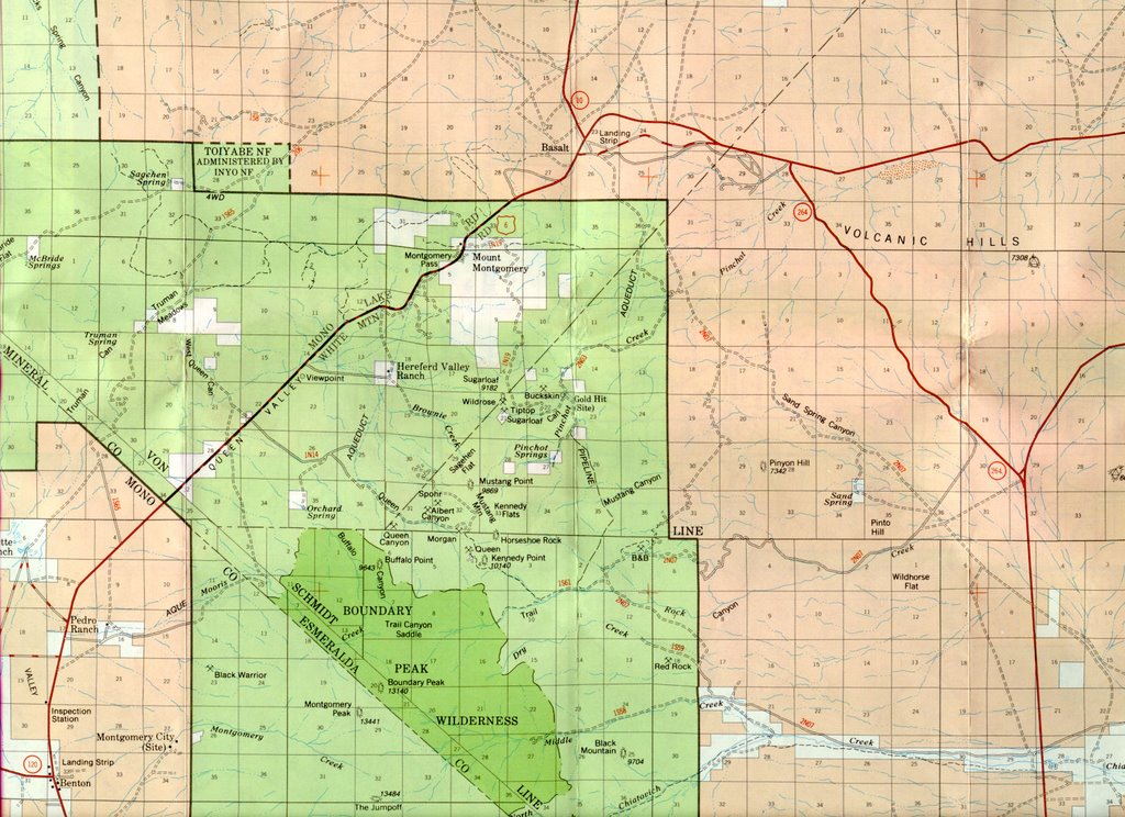
Topo Maps