Sunday, September 06, 2015

18 of 50, over a 1/3 of the way done

Getting Ready for Mt. Whitney

I like maps. When I get a new map, I eagerly open it up and peruse its content. My wife thinks I'm a little crazy and she might be right. But, I love the idea that this map represents a nook on our vast planet earth. A nook that was fashioned by God waiting to be explored if one be so inclined. This highpointing adventure idea is one way in which I can combine my love for exploration and maps and my love for God. It is a chance for me to visit a part of His creation, to discover the beauty of it and in doing so to behold the greater beauty of the one who holds it together.

Whether I glimpse a setting sun, fill my lungs with crisp October air, or sit quietly on an empty mountaintop, I know it is the Lord who made it and governs it all. The creation is a reflection of His greatness and I am thankful that He has given me an opportunity to partake in it. What a gift!

Will I ever really have the time to get to the top of all fifty states? Only God knows. But even if I don't, there is always the new heavens and earth that awaits exploration. For now, however, onwards and upwards.

List of Completed Highpoints

#1, Britton Hill, FL, 345 ft, 5-26-06
#2, Woodall Mtn, MS, 806 ft, 5-27-06
#3, Cheaha Mtn, AL, 2407 ft, 5-29-06
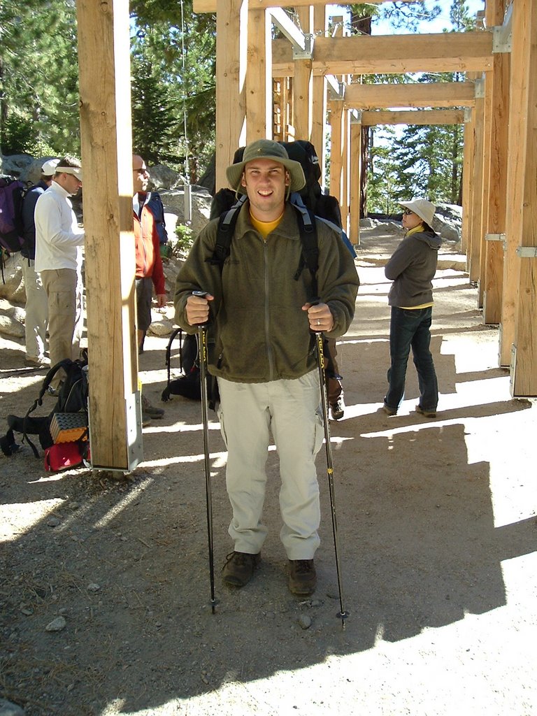
#4, Mt. Whitney, CA, 14494 ft, 9-24-06
#5, Boundary Peak, NV, 13143 ft, 9-25-06
#6, Spruce Knob, WV, 4863 ft, 12-19-06
#7, Mt. Rogers, VA, 5729 ft, 12-29-06
EC, Reno Reservoir, Washington DC, 429 ft, 3-29-07
#8, Ebright Azimuth, DE, 442 ft, 5-22-09
#9, Mt. Washington, NH, 6288 ft, 5-24-09
#10, Jerimoth Hill, RI, 812 ft, 5-25-09
#11, Campbell Hill, OH, 1549 ft, 4-3-12
#12, Hoosier Hill, IN, 1257 ft, 4-5-12
#13, High Point, NJ, 1803 ft, 6-10-13
#14, Mount Frissell (south slope), CT, 2372 ft, 6-13-2013
#15, Mount Greylock, MA, 3491 ft, 6-13-2013
#16, Sassafras Mountain, SC, 3553 ft, 11-10-2013
#17, Clingman's Dome, TN, 6643 ft, 8-13-14
#18, Mt. Hood, OR, 11240 ft, 6-3-15

Wednesday, June 03, 2015

Mt. Hood, OR

Highpoint #18
11240 feet ASL

My wife and I headed to Seattle, WA to witness the marriage of a mutual college friend.  At the reception I caught my first glimpse of Mt. Rainer...majestic.  While Rainer wasn't planned for this trip, it did get me excited for Mt. Hood, which I would attempt in a few days.  


Mt. Rainer


After the wedding, we headed down to Portland, OR, where I picked up my boots, crampons, ice axe and helmet.  Then it was over to Rhododendron, OR, at the foot of Mt. Hood, where we had booked a fun cabin on AirBnB.  Unfortunately, we arrived to a stationary front with lots of cloud and light drizzle at the foot of the mountain, but what would the summit be like?  I met my guide, Aaron Hartz, with Timberline Mountain Guides.  His first news wasn't good.  Chair lift up the first half of the mountain was closed due to high winds and low visibility.  Our original plan to go up and work on skills and then camp on mountain would have to change.  We decided to work on our skills on a lower section of the mountain and then meet at the trailhead at midnight to attempt summit from the lodge.

Clouds, drizzle, and nastiness continued for the skills part and as I tried to go to sleep that night.  I awoke to drive to trailhead and still clouds and rain, although perhaps a bit less.  We started at Timberline Lodge with the mountain appearing to be socked in above Wilcox Hut.  Climbed to the top of the ski lift in heavy freezing mist.  But then, maybe, just maybe the clouds looked to be clearing.  As we began again after a rest at the ski lift, I saw some stars and then the upper reaches of the mountain.  Maybe I will get a chance.  We put on our crampons and were headed up.  Our next break was a doozy, wind picked up on a ridge with I'm estimating 30mph winds and 20 degree temps.   Brutally cold, even with gear.  Hard time getting back going, with cold muscles, though I might have to stop, but I was able to get into a rhythm and warmed back up.

We made it to the Devil's Kitchen, protected on three sides by the 1000 foot mountain walls.  The sun started to rise, wind died down, we were above the clouds, with distant volcanoes peaks above the clouds.  Fumaroles were active with sulfur smell.

We short roped up and made our ways to the Hogsback.  We didn't traverse along the Hogsback, but instead opted for a muddy, sulfur section that lead to the Old Chute.  Aaron went up the Chute and set a belay so I could manage the steepest section.  

All that was left was a short ridge hike to the true summit.  Unfortunately, some clouds pushed in to cloud the summit view, but I didn't care, I was glad to have made it up.  7 hours up, topping out at around 7:45 am (PCT).  Texted my wife and good buddy and then we started the descent.  We descended same route in 3.5 hours.


Trip Statistics and GPS data on Gaia